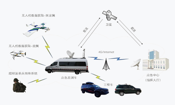
With UAV low-altitude remote sensing, immediate processing and interpretation of remote sensing data, remote consultation and communication on disasters, emergency command and support system in one, ZKYS emergency monitoring vehicle can give full play to the macro-monitoring of fixed-wing UAV, hovering monitoring of rotor UAV, real-time command on electronic sand table, experts’ remote joint consultation, real-time release on media, cloud-based satellite data delivery and other functions.
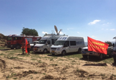
ZKYS emergency monitoring vehicle is "flexible, mobile, fast and efficient". When major or mega disasters strike, it can quickly go to the disaster-stricken areas and set up the frontier headquarters in time. As an emergency command and communication center, it can provide real-time and accurate on-the-spot information for the command departments at all levels, and provide visual and reliable first-hand information for leaders to make correct decision and direct the work at the front so as to improve the ability of rapid response, unified command and coordinated operation of the command department.