You are welcome to visit Beijing zhongke remote information technology co., LTD.

中文English

PRODUCTS SHOW

Airborne Lidar
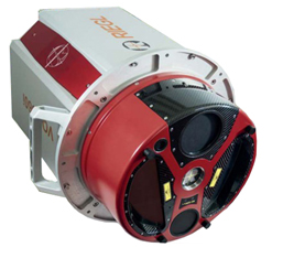
Airborne Lidar Company has diversified airborne lidar equipment, which can be integrated with a variety of aircrafts to meet the professional applications of various industries.

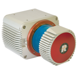
RIEGL VQ-1560i

Technical Indexes

Equipment Index Parameter
Laser Scanner Maximum Emission Frequency of Laser 2000 kHz
Maximum Scanning Speed 600 lines per second
Number of Callbacks Infinite
POS system IMU Precision Roll、Pitch 0.0025°
Heading 0.005°
Aerial Camera Resolution Ratio 11608*8708
Pixel size(μm) 4.6
Lens Focal Length(mm) 50

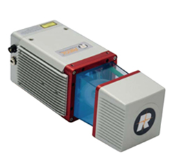
RIEGL VUX-1LR

Technical Indexes

Index Parameter
Maximum Ranging 1350m
Measurement Accuracy 15MM
Maximum Impulse Frequency 820KHZ
Weight 3.5KG
Maximum Flight Altitude 530M

RIEGL miniVUX-1UAV

Technical Indexes

Index Parameter
Maximum Ranging 200m
Measurement Accuracy 15mm
Maximum Impulse Frequency 100Khz
Weight 1.55kg
Maximum Flight Altitude 100m
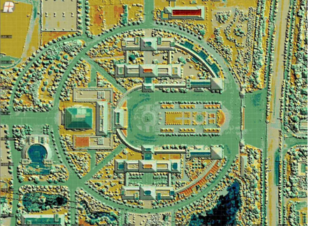
Airborne lidar is a new type of fast measurement system, which can obtain high-precision point clouds by a variety of measurement techniques. It can be used to produce DSM, DEM, building white model and so on.

Point cloud data of airborne lidar
Three-dimensional Products and Services

The advantages of making 3D models based on point cloud data and oblique images are as follows:
1.High-accuracy model with the accuracy level of surveying and mapping.
2.Model objectification: combined with the traditional two-dimensional system, convenient for later database management.
3.Texture authenticity: each point cloud data has a three-dimensional coordinate, which can improve the accuracy of image positioning; the oblique images after registration automatically matches texture for each building surface, and realizes the automatic texture pasting of the three-dimensional model, so as to make the texture of the model the most authentic.

Three-Dimensional Results
Spectral Remote Sensing Services
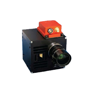
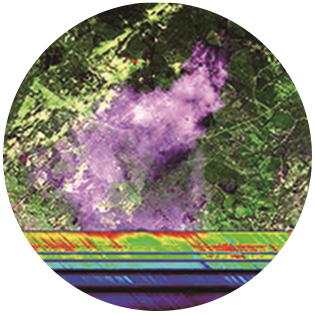
Spectral remote sensing is a new modern technology to obtain the object’s special band spectral images of refraction, reflection and scattering through special sensors, and obtain the object’s attribute information analyzed by the post-processing software.
  • Nano-Hyperspec micro airborne hyperspectral imager

  • Hyperspectral imagery

Beijing ICP No. 1000456410 All rights reserved Beijing UAVRS remote information technology co., LTD Website construction:MingkeWangluo