- SOLUTIONS
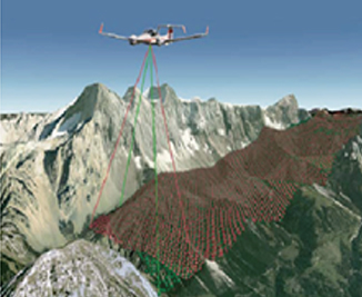
- Land Surveying and Mapping
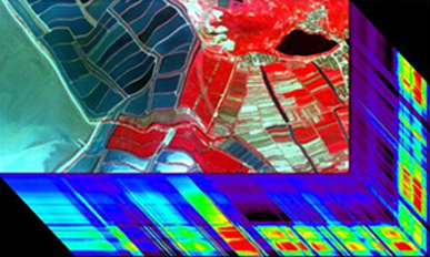
- Spectral Remote Sensing
- Digital City
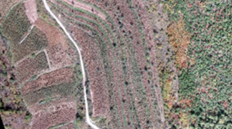
- Forestry Survey
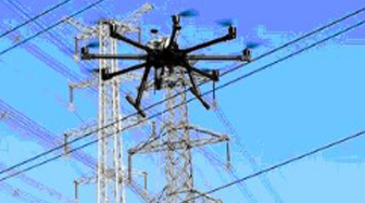
- Electric Power Inspection
- Emergency Monitoring
- SERVICE SUPPORTS
- Service Supports
- FLIGHT ACADEMY
- Flight Academy
- SOLUTIONS
- Land Surveying and Mapping
- Spectral Remote Sensing
- Digital City
- Forestry Survey
- Electric Power Inspection
- Emergency Monitoring
- SERVICE SUPPORTS
- Service Supports
- FLIGHT ACADEMY
- Flight Academy
- SOLUTIONS
- Land Surveying and Mapping
- Spectral Remote Sensing
- Digital City
- Forestry Survey
- Electric Power Inspection
- Emergency Monitoring
- SERVICE SUPPORTS
- Service Supports
- FLIGHT ACADEMY
- Flight Academy
- SOLUTIONS
- Land Surveying and Mapping
- Spectral Remote Sensing
- Digital City
- Forestry Survey
- Electric Power Inspection
- Emergency Monitoring
- SERVICE SUPPORTS
- Service Supports
- FLIGHT ACADEMY
- Flight Academy
- SOLUTIONS
- Land Surveying and Mapping
- Spectral Remote Sensing
- Digital City
- Forestry Survey
- Electric Power Inspection
- Emergency Monitoring
- SERVICE SUPPORTS
- Service Supports
- FLIGHT ACADEMY
- Flight Academy
- SOLUTIONS
- Land Surveying and Mapping
- Spectral Remote Sensing
- Digital City
- Forestry Survey
- Electric Power Inspection
- Emergency Monitoring
- SERVICE SUPPORTS
- Service Supports
- FLIGHT ACADEMY
- Flight Academy


