You are welcome to visit Beijing zhongke remote information technology co., LTD.

中文English

SOLUTION

Digital City

Technical Thinking

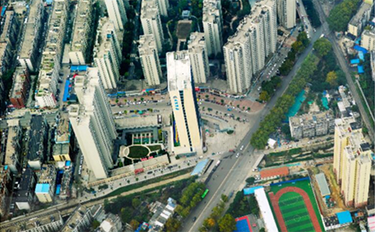
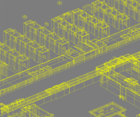
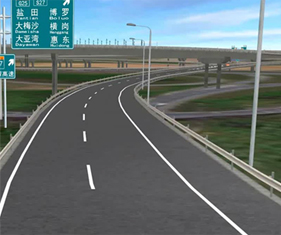
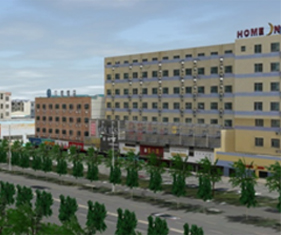
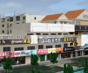
Based on point cloud data and oblique image data, three-dimensional models can be quickly created by the method of software and manual intervention, and analyzed and calculated by the professional three-dimensional real-scene platform. By the method, the model can be created in short time, and is of high precision, real texture, high degree of integration and diversified final results, which can meet the needs of industrial application and urban development.

Data Type
Data Achievements
The accuracy meets the requirement of 1:500 topographic map, and the production of 100k k㎡real-scene model can be completed in 60 days.
  • Wire Frame Model

  • Element Product

  • Real-Scene Single Model

  • Detailed Commercial Real Estate under Residential Buildings

Three-dimensional Real-scene Platform
Beijing ICP No. 1000456410 All rights reserved Beijing UAVRS remote information technology co., LTD Website construction:MingkeWangluo